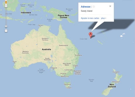
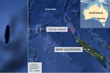
When a group of Australian scientists went on a a voyage to study plate tectonics (?) in the Pacific Ocean, the world map indicated that they would be passing an uninhabited island on their way called Sandy Island. When the boat approached the island’s coordinates, the captain prepared all the safety stops to make sure it didn’t run aground. But it turns out, the island wasn’t there.
In one of those Hey-where-did-the-island-go? kind of moments, a geologist from the University of Sydney on board at the time recalls, “We became suspicious when the navigation charts used by the ship showed a depth of 1400 metres in an area where our scientific maps and Google Earth showed the existence of an island.”
The crew had to make a decision of who to trust: Google Earth or the navigation charts? (Always a tough one).
“We decided to actually sail through the island,” says crew member Dr. Steven Micklethwaite, “Lo and behold there was nothing … there’s an island in the middle of nowhere that doesn’t actually exist.”
Sandy Island, supposedly a 26km wide island, was located in French territorial waters between Australia and New Caledonia and would have belonged to France if it indeed existed. For the past 12 years, the island has featured on the world’s maps including Google Earth, weather maps and the coastline database. But thanks to a few marine scientists who went to check up on the mysterious paradise in the Coral Sea, the French are now one island short.
In light of the undiscovery, the director of charting services for the Australian Hydrographic Service (aka the guys that are supposed to produce the country’s official nautical charts) says, “we take anything off that database with a pinch of salt”.
So that should be comforting to sailors.
But just how the island got on the maps in the first place is still a bit of a mystery. “While some map makers intentionally include phantom streets to deter copyright infringements, that was not standard practice with nautical charts”, says Mr Prince. Even more comforting.
It’s most likely that the presence of the non-existent island was down to human error in digitizing the maps and once it entered the databases, just stuck around for a good 12 years because no one actually bothered to explore that region properly. Oops!
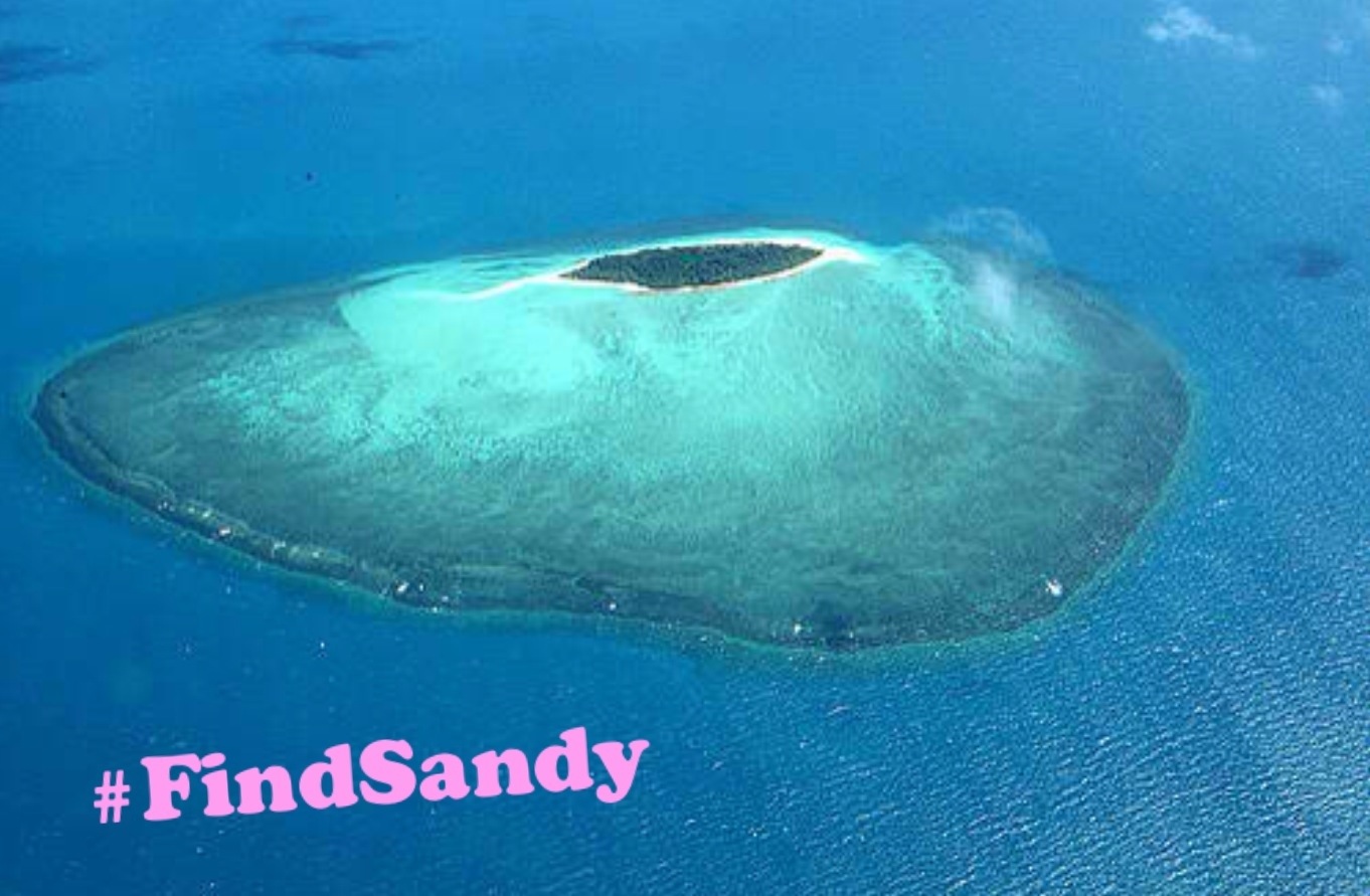
But there may still be hope for Sandy Island. Danny Dorling of the British Society of Cartographers thinks the truth is out there…
“It’s unlikely someone made this island up. It’s more likely that they found one and put it in the wrong location. I wouldn’t be surprised if the island does actually exist, somewhere nearby.”


