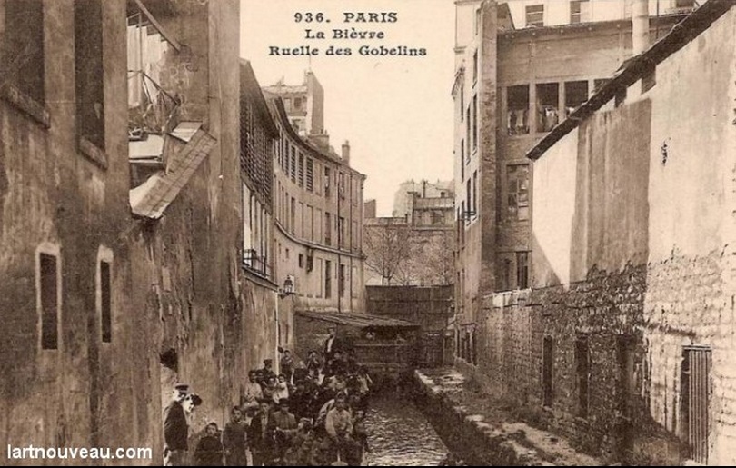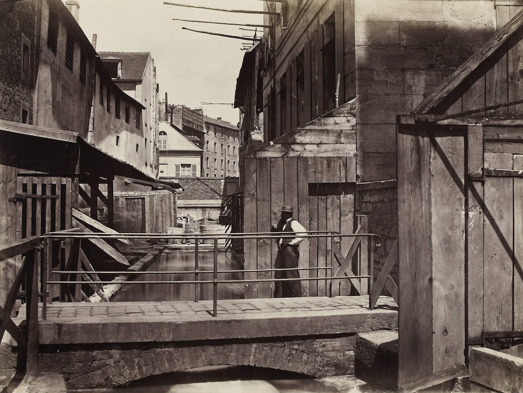
La Seine, immortalized by artists and adored by lovers dangling their feet over the quay, harbours a dark secret. Under the fifth and thirteenth arrondissements grumbles la Bièvre, the Seine’s younger sibling who was banished to the netherworld over one-hundred years ago.
Starting thirty-three kilometers away in the Yvelines and feeding into the Seine at Gare d’Austerlitz, the Bièvre was once a vibrant river that attracted people way back in the Neolithic period. It was eventually named after the beavers that lived on its banks (derived from the Gaul bèbros).
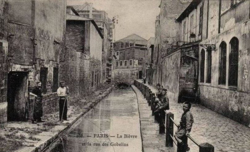
In the beginning, the Bièvre followed the course that the Seine follows now. The Seine was originally where Haussmann’s Grand Boulevards are today (and also avenue Matignon and avenue Montaigne). Due to successive floods, the Seine usurped the course of the Bièvre. Yet the greatest changes to the vanquished river are due to man.
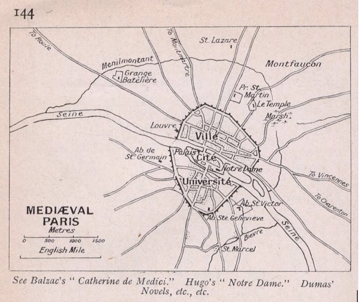
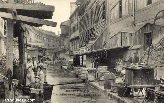
Back in the Middle Ages the Bièvre nourished abbeys and fortresses. In 1376 butchers were invited to use the Bièvre for their dirty work to avoid soiling the Seine. Soon tanners, millers and textile manufacturers followed suit. The little waterway became an industrial hub as many factories and windmills were built along its banks.
Eventually the river was divided into two parts. Its natural course was labeled the bras mort or “dead arm.” The new, man-made arm, created to feed the windmills placed on its banks, was labeled the bras vif or “living arm.”
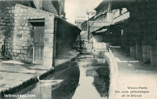
Centuries of overuse and abuse from the businesses that depended on the Bièvre polluted it so badly that it became a health hazard for Parisians. In 1875 Haussmann decided that the Bièvre had to go. By 1912, the Parisian half of the river was completely concealed. Today it is a sad part of Parisian sewage systems.
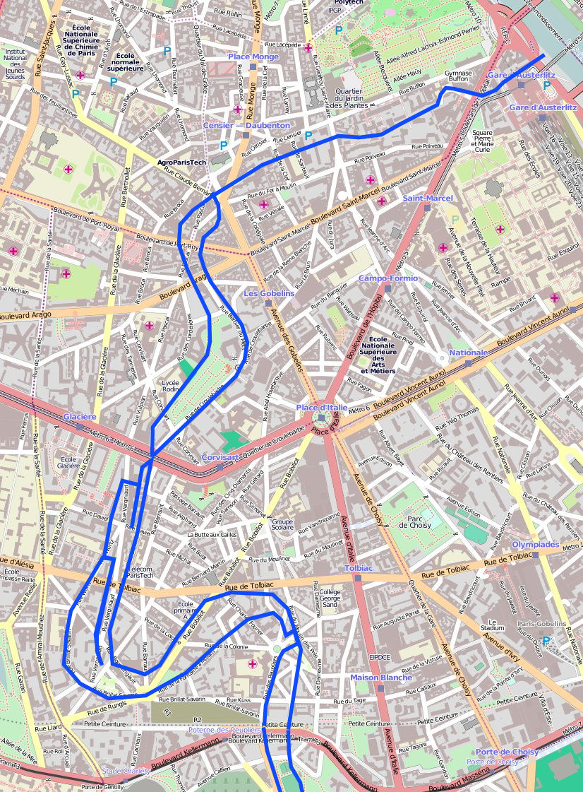
Here is a map of where the Bièvre runs underneath Paris today:
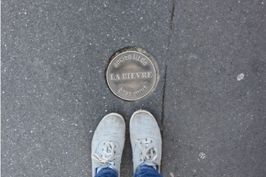
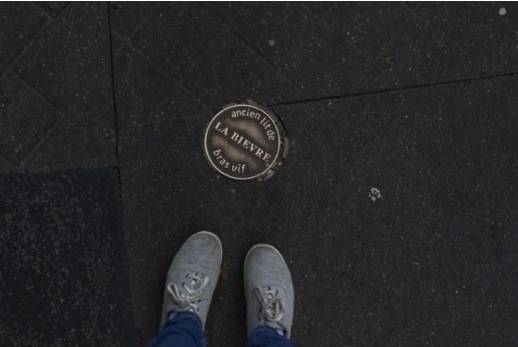
Although the Bièvre is hidden from sight, traces of the river remain in plain view—if you know where to look. For a stroll on top of the sequestered stream, simply follow the medallions.
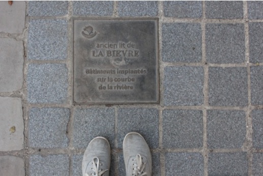
Easily mistaken for sewer and gas markers, these medallions identify the “former bed of the Bièvre” and indicate which branch you’re following.
Begin at parc Kellerman, created in 1937 on the covered riverbed. The Bièvre flows quietly under the park before entering Paris through rue de la Poterne des Peupliers.
Although the medallions are tread upon every day by people going about their business in a post-Bièvre Paris, there remain a growing number of advocates for the bygone river.
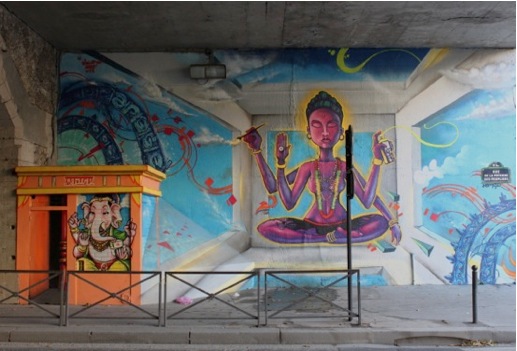
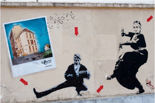
Perhaps the best example is Lézarts de la Bièvre, an association of artists who defy municipal boundaries and instead organise themselves around the rivière caché (hidden river). Their name is a play on the words les arts (“the arts”) and lézard (“lizard”) as if they were a team of creative amphibians scurrying around the lost river. Since 2001, Lézarts has opened their workshops, located in the neighborhoods of the Bièvre, to the public during every second weekend of June. Each year one famed graffiti artist from the area is chosen to tag the path from atelier to atelier. If touring the Bièvre leaves you hankering for more, follow their red arrows near the medallions for a graffiti treasure hunt.
Graffiti artist Jeff Aerosol for Lezarts. Image thanks to Un oeil qui traine . . .
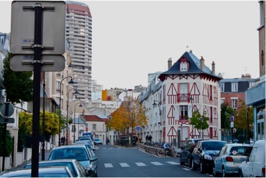
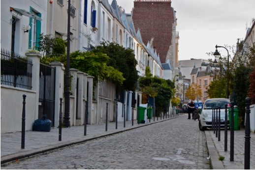
At the end of rue de la Poterne des Peupliers you’ll find yourself in the middle of the Moulin des Prés neighborhood.
Can you guess which branch of the Bièvre is here? The name of the neighborhood should give it away. Moulin is French for mill and is alluding to the industrial mills built along the Bièvre’s bras vif.
Moulin des Prés is a charming area with a hodgepodge of different styles of architecture.
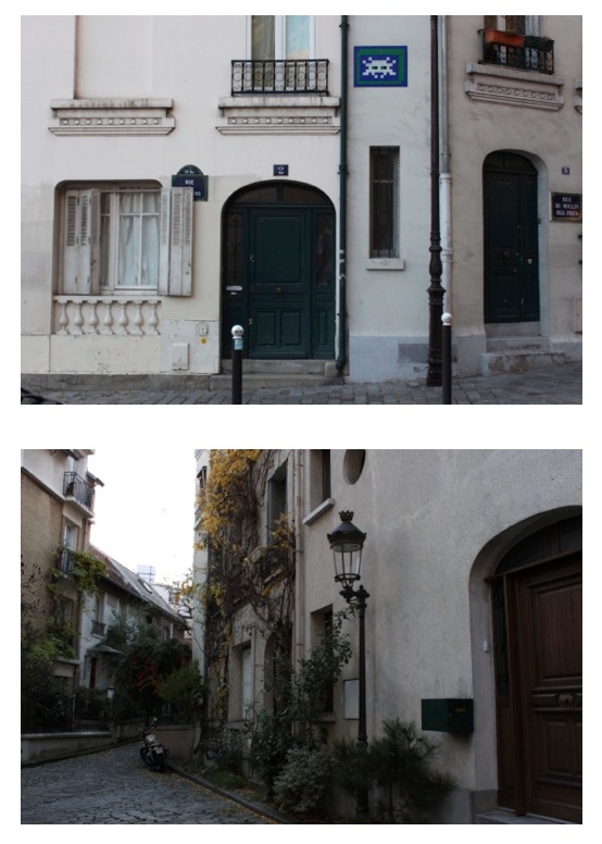
Further along the route, we find ourselves on to rue du Moulin des Prés…
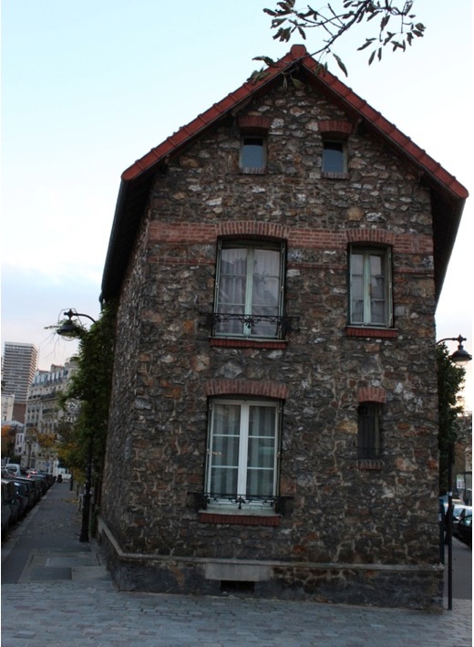
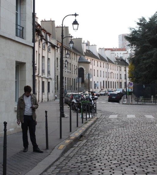
This old building probably remembers the Bièvre!
Just as you’re wondering if rue Tolbiac was the right turn to take, this trusty medallion pops up …!
After square Réné-le-Gall, a park snuggled in between the Bièvre’s arms, begins what is arguably the best part of this journey.
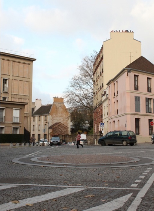
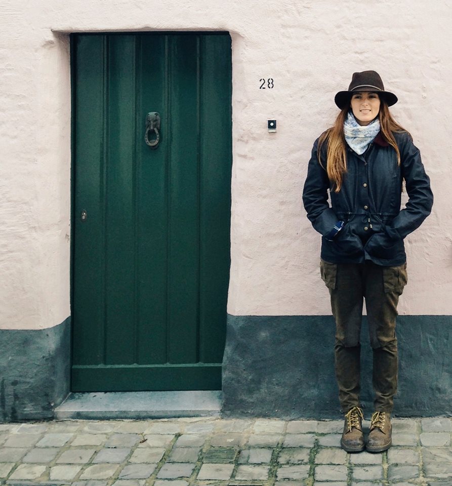
The most obvious signs of the Bièvre exist here, at the crossroads between rue de Croulebarbe and rue Berbier du Mets. Not only do the two roads directly cover the river but many of the buildings were constructed during the Bièvre’s heyday. Little does the woman in the photo know that a bridge once existed exactly where she stands.
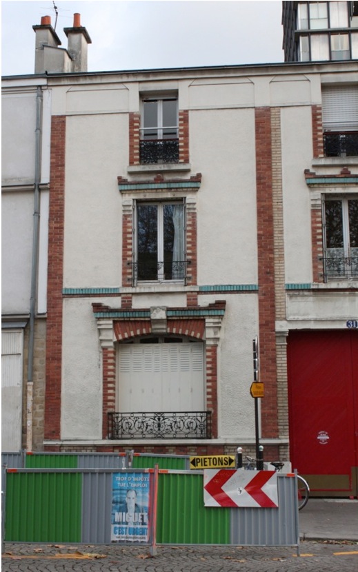
Looking at old houses engulfed by a looming construction site makes you wonder: will they become another quaint patch in the urban Parisian quilt? Or will they pile up with the Bièvre in Paris’ lost and found?
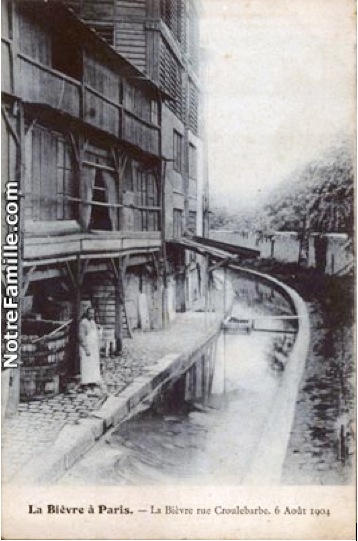
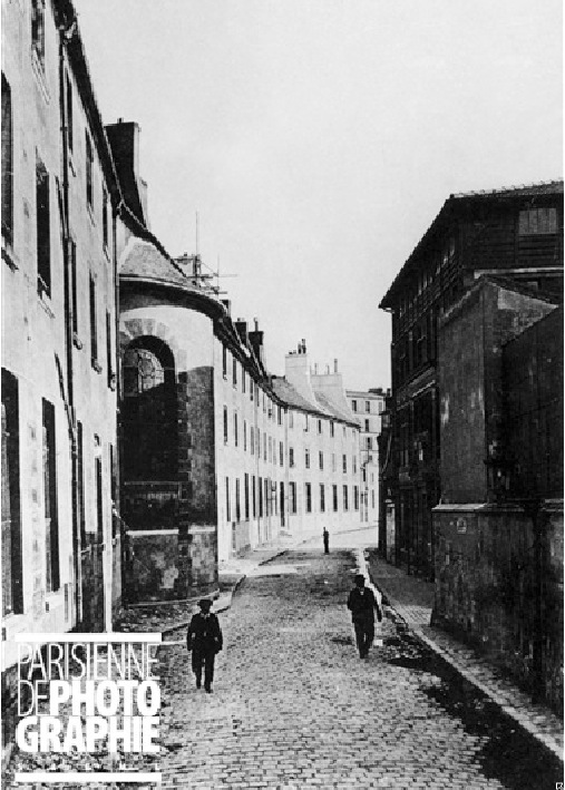
Pictured left: The same spot, Rue Croulebarbe in 1904…
“Former bed of the Bièvre. Buildings placed around the curve of the river.”
See the curve … (and a modern-day nymph of the Bièvre).
This photo was taken not long after the Bièvre went underground.
(Image thanks to Parisenphoto.fr).
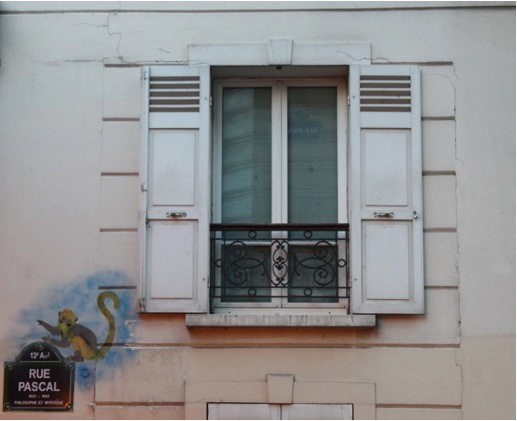
Crossing boulevard Arago and on to rue Pascal, we run into another sign of Lézarts.
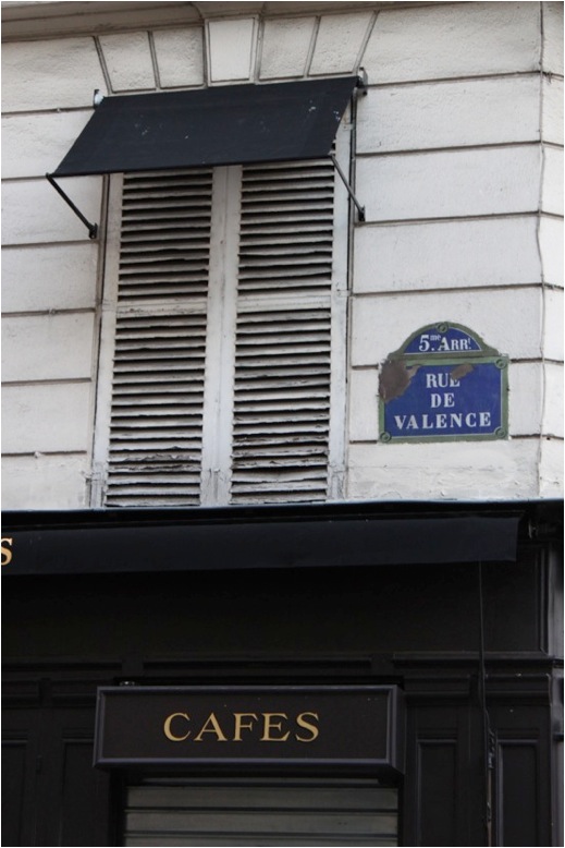
Into the 5th arrondissement we go!
Here the Bièvre loses the street and runs under the buildings. You can do your best to follow it by continuing down rue Monge.
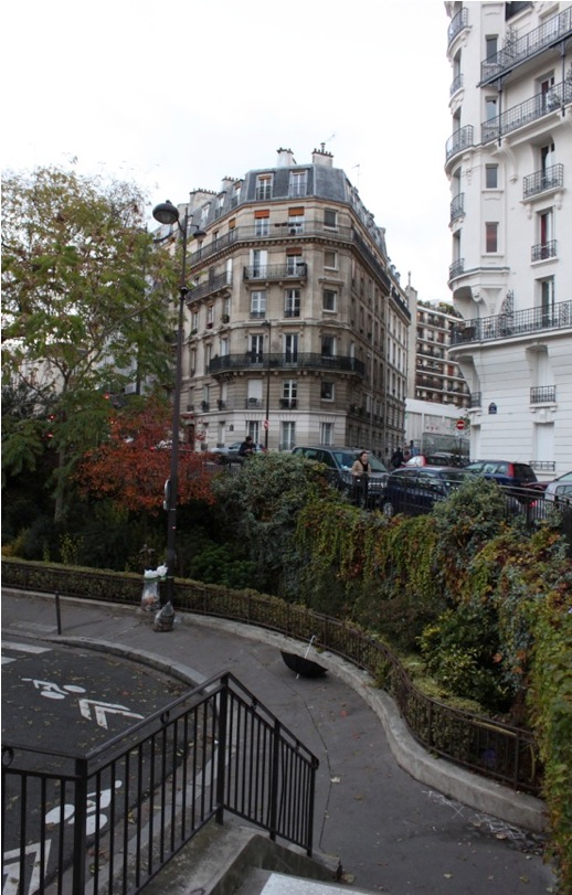
The winding green garden on rue Censier was built right on top of the Bièvre. It is the last over-ground relic of the river’s path before it pours out into the Seine.
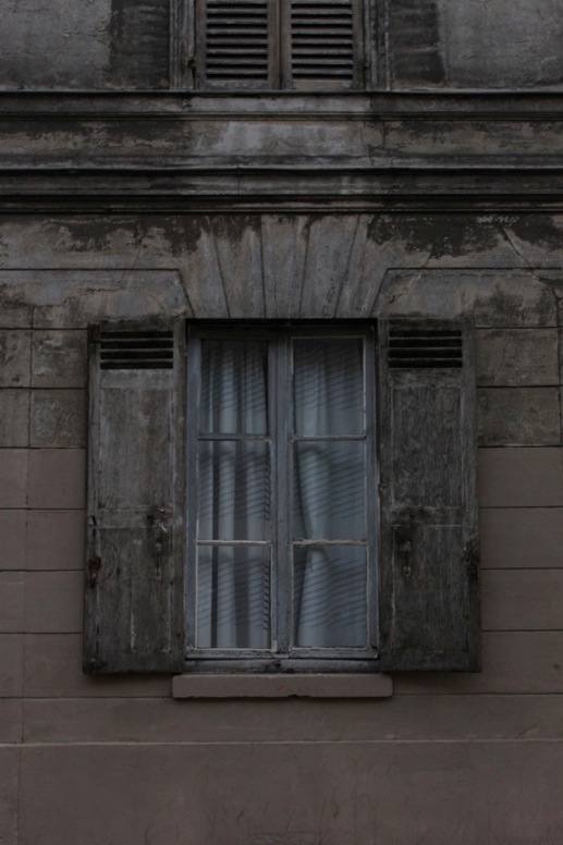
Did this window once overlook the Bièvre? Daylight dwindles as the river reaches its final destination…
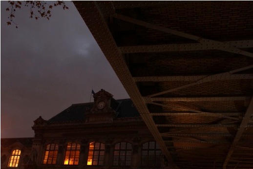
Gare d’Austerlitz guards the end of the Bièvre . . .
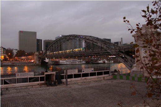
… which empties into the Seine right under the metro’s bridge … right here.
Will the bygone Bièvre ever see the light of day again? For ecological and sentimental reasons, there are various efforts to unearth the Bièvre in Paris as well as the other urban areas it traverses.
Some, like Lézarts, identify the Bièvre as a symbol of defiance against urban and political control (in other words, “sticking it to the man”). Many personify it as a victim of industrialization. The poet Joris-Karl Huysmans likened the Bièvre to blithe young women lured to the big city only to meet their downfall, and to old, noble families that “gradually fell and who finished, drop by drop, imprisoned in the unspeakable mud of profitable commerce.”
The conseil général of Val-de-Marne, a south eastern suburb of the city, plan to re-open their share of the Bièvre in 2016. A long-time habitant Andrée Gibert of Gentilly— a town next to the thirteenth arrondissement of Paris that allowed the Bièvre to breathe freely a little longer than Paris did, shares her childhood memories of the river:
“I remember the Bièvre . . . above all from the night when I slept at my Aunt’s friend’s place, and I heard the noise of the Bièvre because her house was divided by it. The Bièvre was very nice because it was extremely lively. Many people worked there; we could take walks alongside it. It was a nice part of Gentilly. I was very disappointed when they covered it up. I didn’t understand. If it reopens, that would be very good … And when I go to the little bridge—it still exists— I stop and I listen to the Bièvre. I still hear it. So I stop, and I listen.”
For a great tour of the Bièvre, check out walking-Paris.com or to follow our own personal tour of the Bièvre, check out this route on Google maps.
Words by Rozena Crossman.

